Surveying
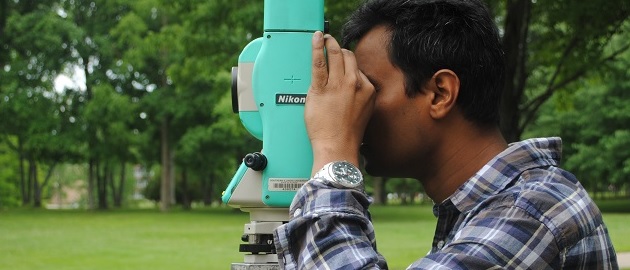
Civil engineers are involved in the precise measurement of the earth's surface to obtain reliable information for locating and designing engineering projects. Current practice makes use of satellites, aerial and terrestrial photogrammetry, and computer-processing of photographic imagery. Radio and TV signals from satellites, scans by laser and sonic beams are converted to maps that give highly accurate measurements for boring tunnels, building highways and dams, plotting flood control and irrigation projects, and for virtually all the other areas of civil engineering. This technical specialty has indeed embraced modern technology. Our Surveying labs provide students with hands-on experience using common surveying equipment.
